
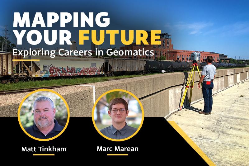
Explore careers in surveying, GIS, drones, and other geospatial technologies with professionals Matt Tinkham and Marc Marean.
Discover the exciting world of geomatics and the diverse career opportunities it offers. From land surveying and GIS to drones, LiDAR, remote sensing, and geospatial data science, this presentation explores how location-based technology is shaping our modern world. Learn about educational pathways, emerging technologies, job prospects, and the skills needed to succeed in one of today’s fastest-growing technology-driven professions.
“Mapping Your Future: Exploring Careers in Geomatics” will take place from 3:30 to 4:30 p.m. Monday, Nov. 16, 2026, in Connell Hall, Room 131, at Wayne State College. Presenters Matt Tinkham and Marc Marean of Lamp Rynearson will share their professional experience and insights into the field.
The event is hosted by Gamma Theta Upsilon and the Drafting and Design Club.
About the Presenters
Matt Tinkham is a senior project manager and principal at Lamp Rynearson with more than 30 years of experience in surveying. His work includes land development and construction layout for projects such as Schwab Field, Midtown Crossing, The Crossroads, and the Omaha Riverfront Development. He has also helped expand the firm’s use of drones and scanning technologies. He holds a bachelor’s degree in geography from the University of Nebraska at Omaha.
Marc Marean is a GIS specialist at Lamp Rynearson with 10 years of experience across the public and private sectors. His work focuses on data collection, spatial analysis, and application development. His projects have included the Bellevue Parks Master Plan, Henry Doorly Zoo data collection, and Omaha Public Schools facility assessments. He holds a bachelor’s degree in geography from the University of Nebraska–Lincoln.
For more information about this event, please contact:
Lesli Rawlings
402-375-7299
[email protected]